Competition 2016: Shortlisted in the category Research
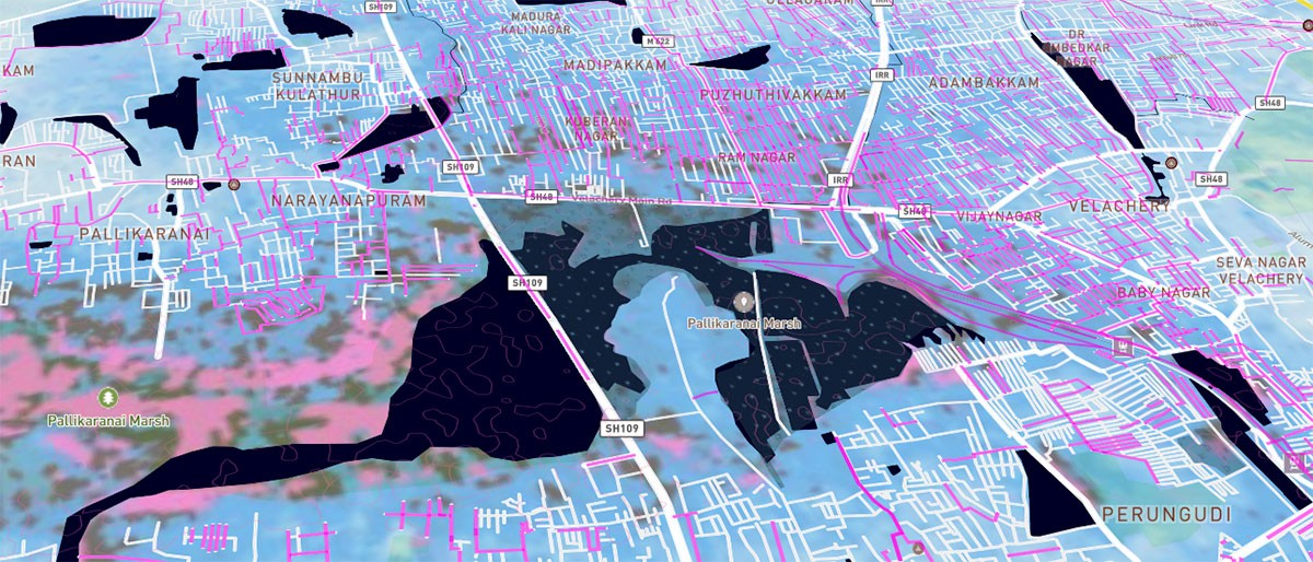
Chennai Flood Map
OpenStreetMap India, 2015
The south indian city of Chennai experienced unprecedented rainfall during the monsoon of 2015 that caused the worst flooding in the history of the city and an estimated economic loss of $3 billion. During the rising water levels, media reports was inadequate to determine the scale and areas affected for proper planning of relief efforts.
Driven by the need to have more information to understand how their families were affected in the city, a small group of open source technology activists quickly prototyped and launched a reporting tool to crowdsource the location of flooded roads on an interactive mobile friendly map.
The use of citizen created map data from the OpenStreetMap project and open source map libraries enabled the creation of this tool in a record time of 3 days when it was most needed. During the 2 week course of the rainfall, the tool had over 1 million views and collected over 15,000 reports of inundated street segments, and was reported to be widely used by citizen volunteers to research and coordinate post flood relief work. All the data and software source code is made openly available on Github for further improvements and research work.
Links
- http://osm-in.github.io/flood-...
- https://www.mapbox.com/blog/ch...
- http://www.firstpost.com/india...
- https://www.youtube.com/watch?...
- http://www.thehindu.com/news/c...
- http://www.vikatan.com/news/ta...
Authors
Project Partner
Mapbox for the use of a free account to host the application and providing the technology stack to scale for a very high usage load

