Competition 2018: Nominated in the category ArtAdvocacy
Manhattan Tree Topography
Two-n, 2018
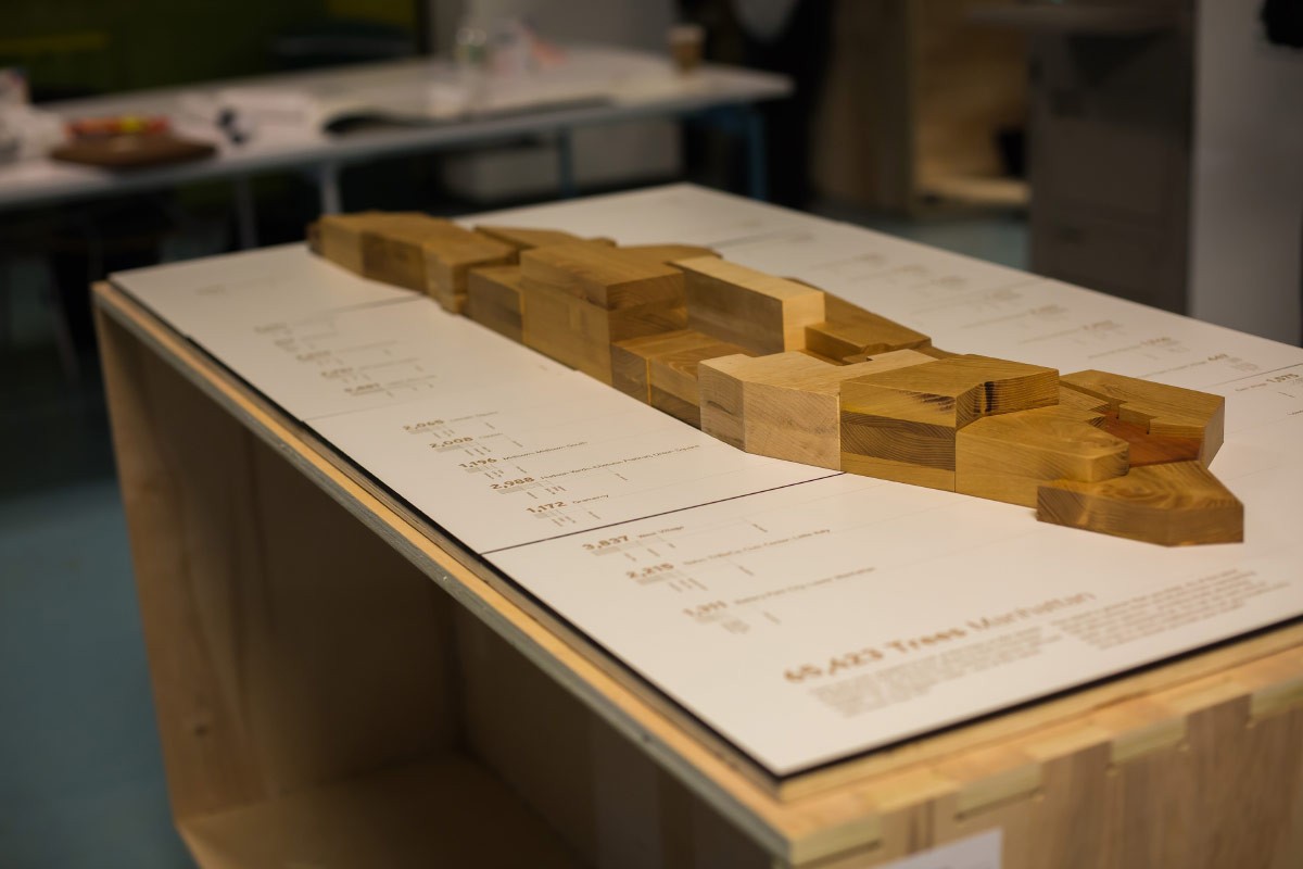
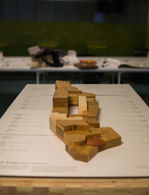
Our project ? Manhattan Tree Topography ? is a celebration of New York City?s street tree population through a data-driven, wooden map. The map is based on the NYC Street Tree Census data and will showcase the diversity and volume of New York?s tree population.
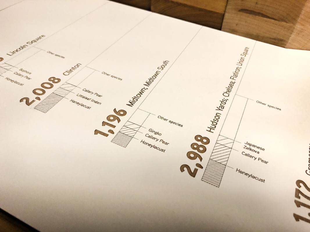
Each neighborhood is represented through a block in different height and material. The height signifies the amount of trees, whereas the wood represents the most prevalent tree. The map is based on a laser-cut base that features additional information about each neighborhood like exact number of trees and a chart about the different species.
The sculpture is interactive: by picking up blocks the audience can experience the haptic qualities of the wood. Beneath the blocks is a printed map that shows the exact geo-location of each tree.
This project was created in the context of NYC open data week and the DataThroughDesign exhibition.
Links
Authors
Project Partner
DataThroughDesign, Funding Nodus ? Gustavo Bonet, Fabrication Samantha Hyatt, Photography


