The World Urban Database and Access Portal Tools (WUDAPT) : Visualizing and Mapping Urban Morphology and Land Cover of Chinese Cities
The Chinese University of Hong Kong , 2016
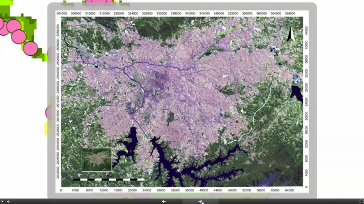
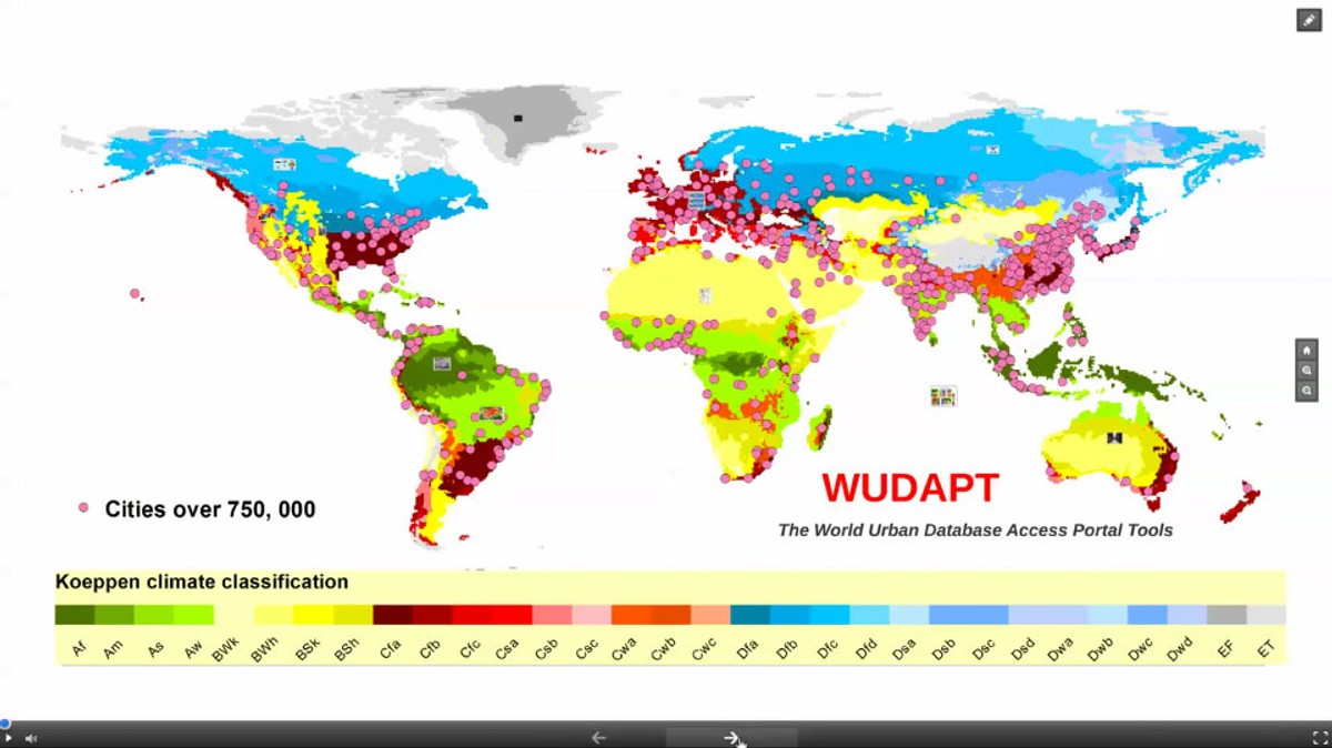
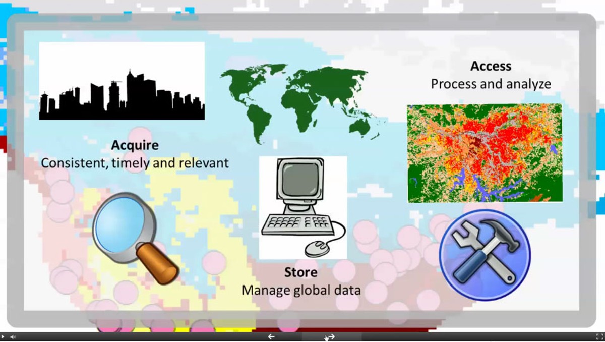
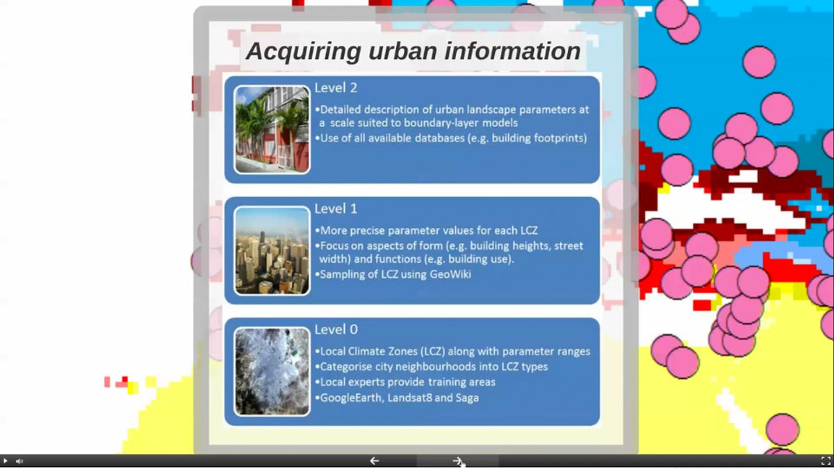
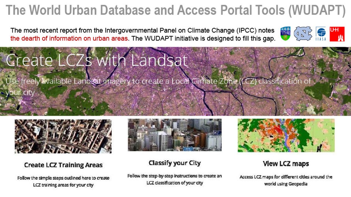
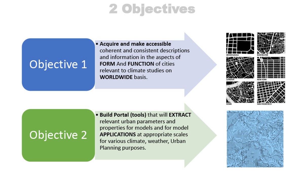
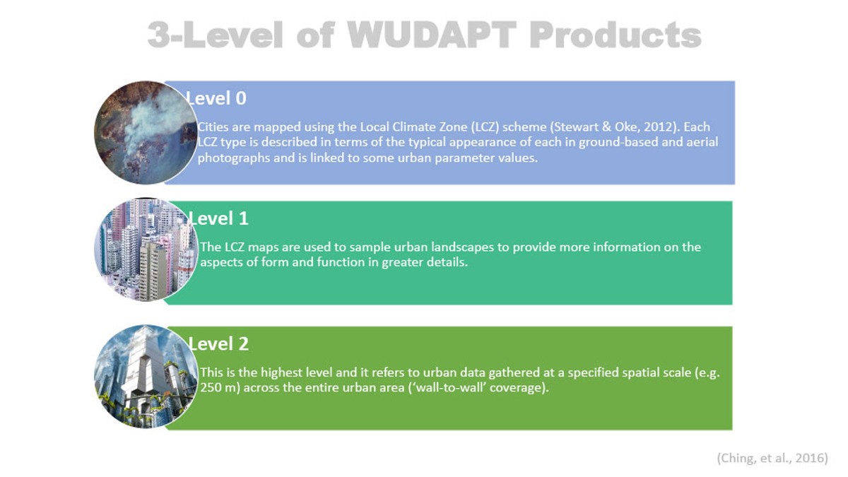
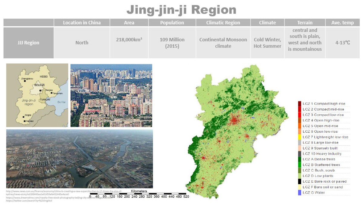
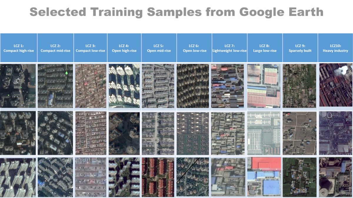
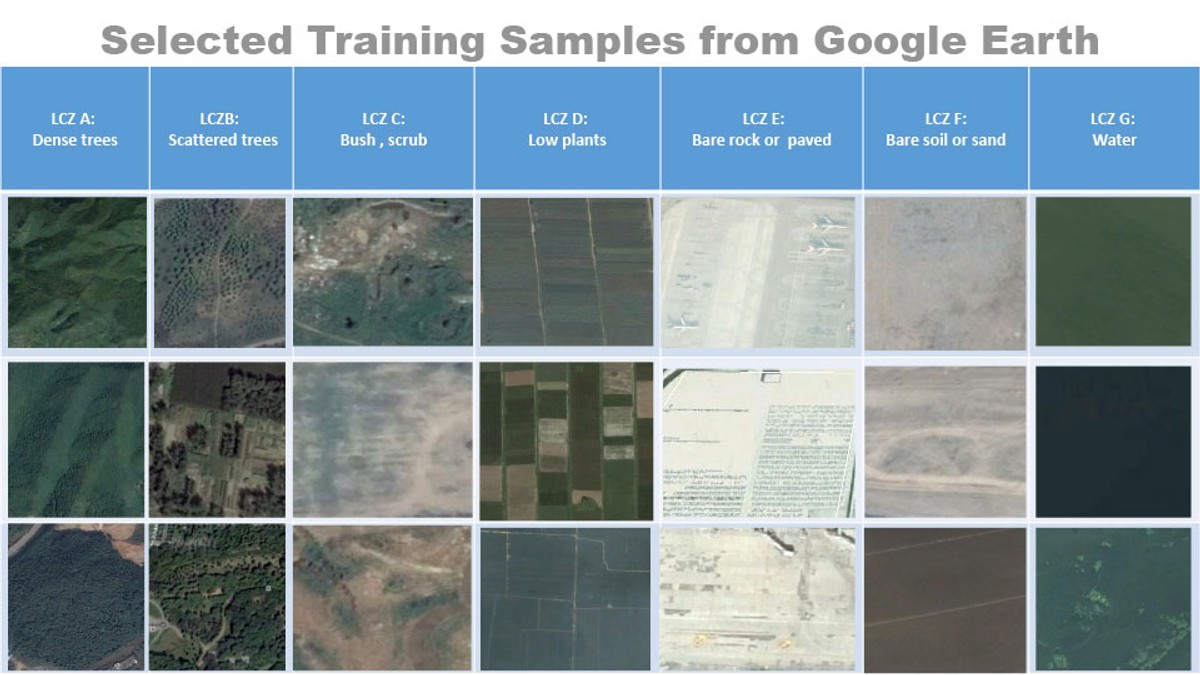
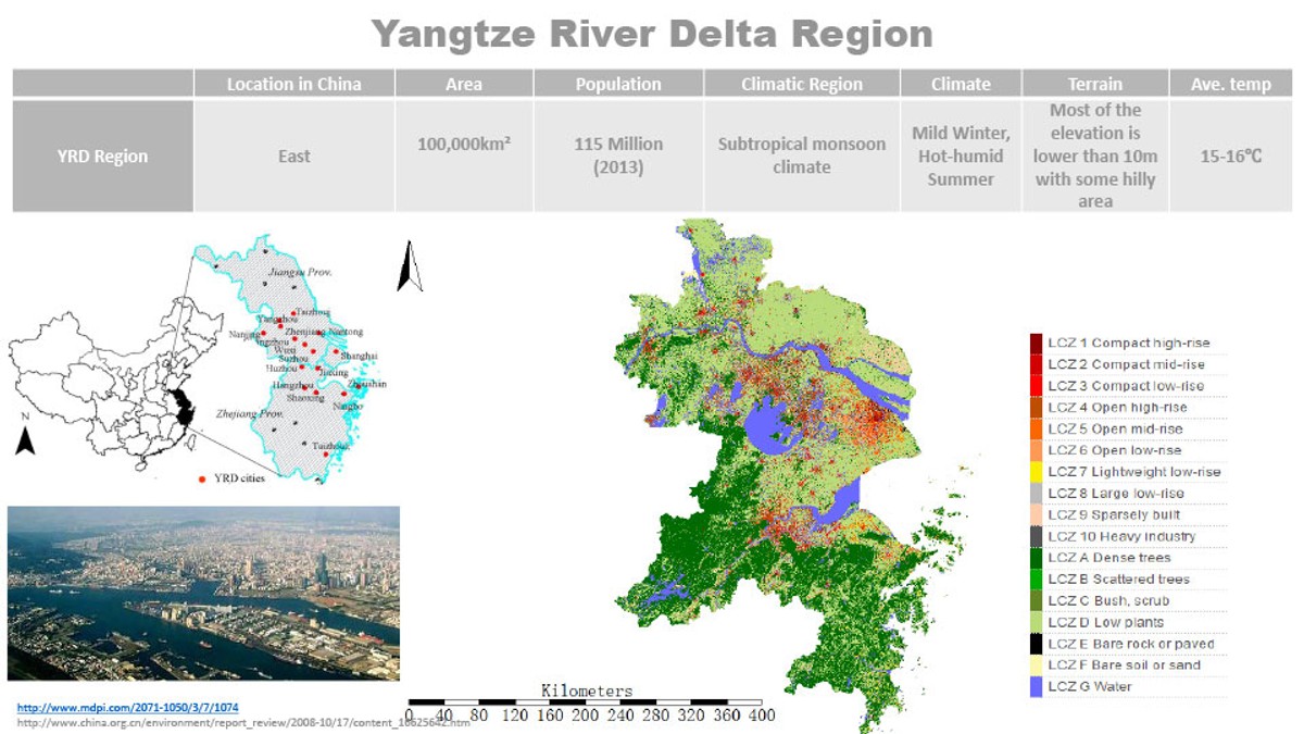
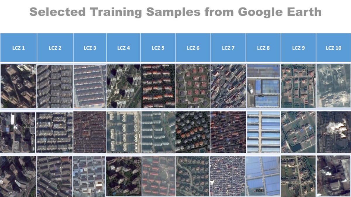
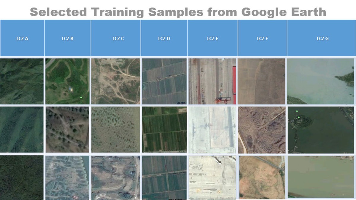
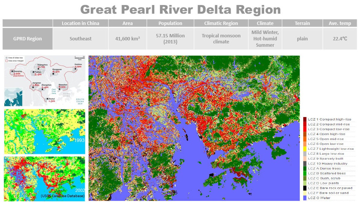
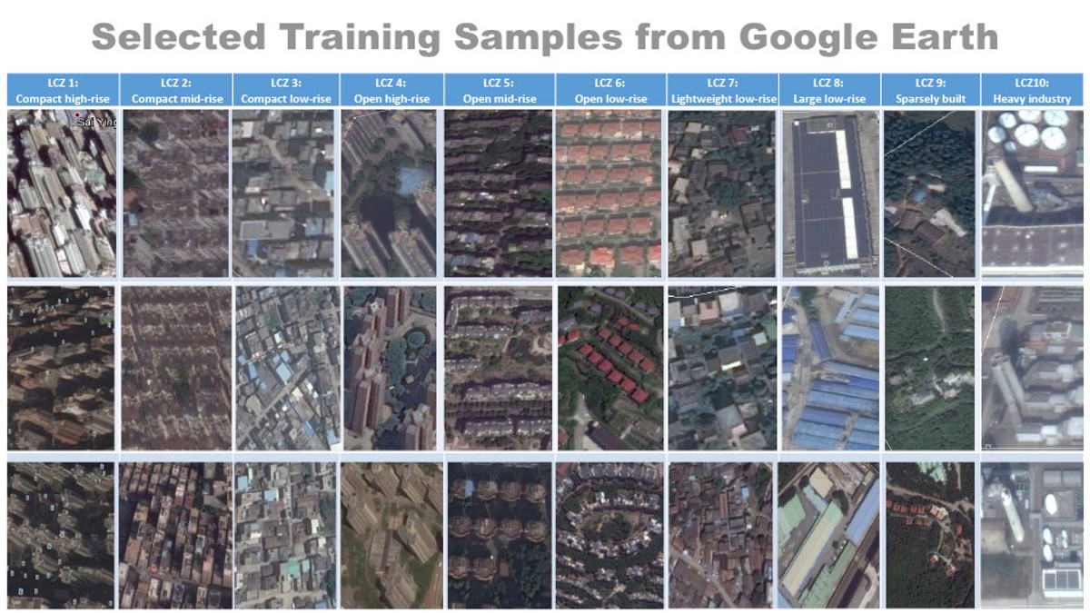
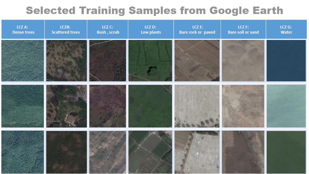
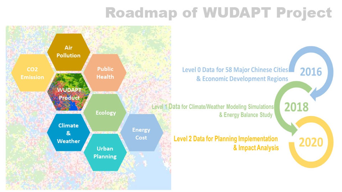
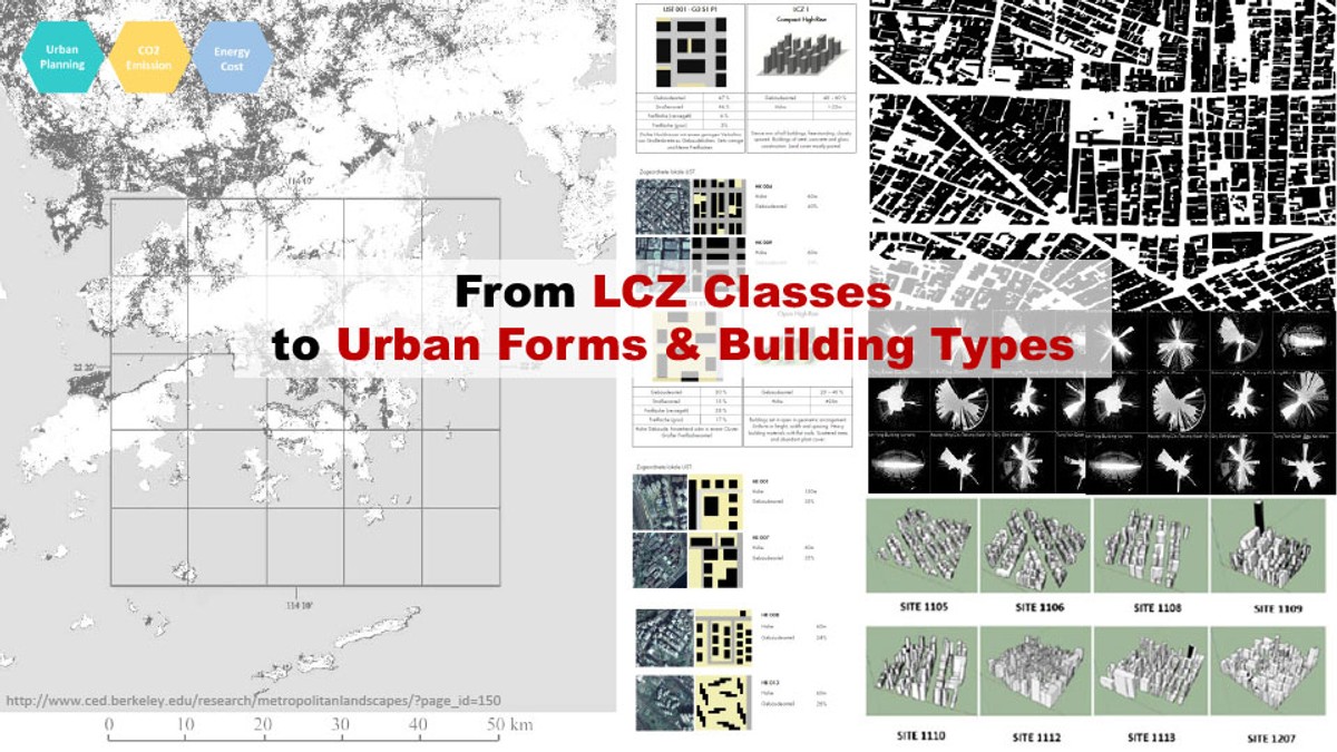
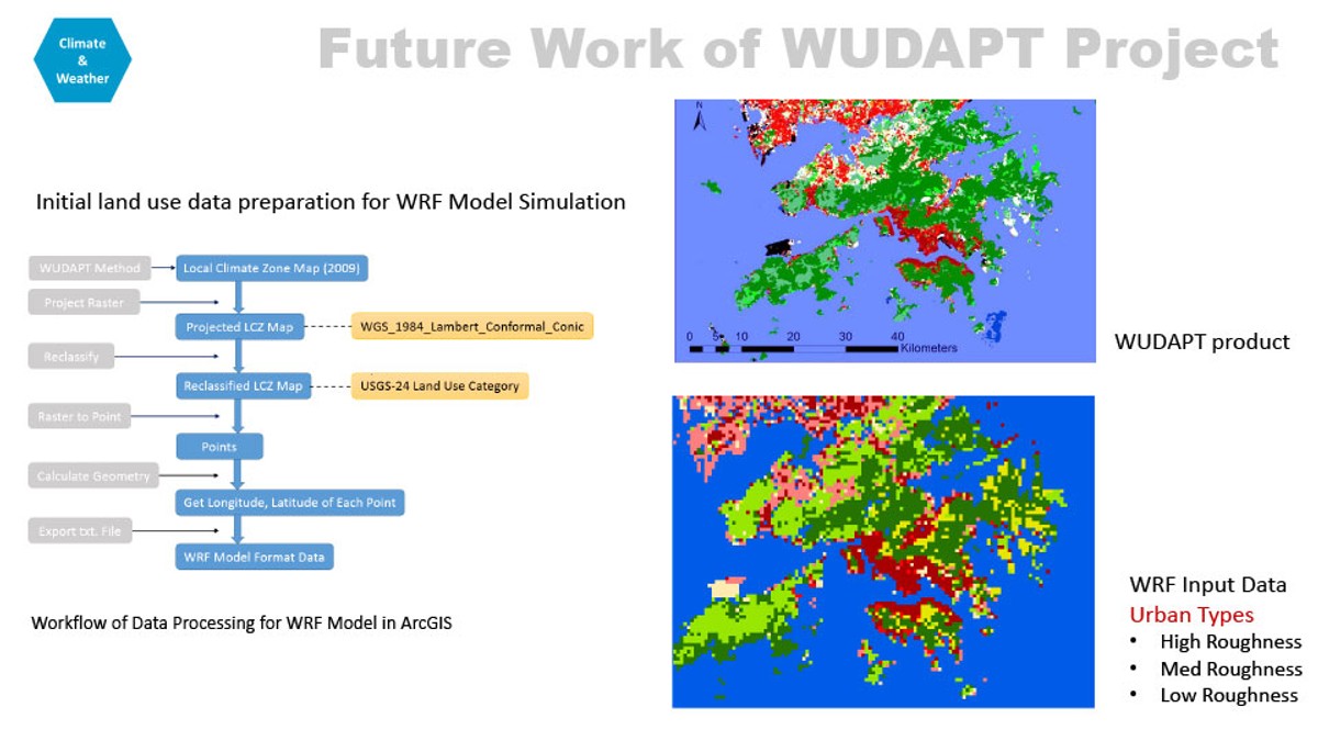
The World Urban Database and Access Port Tools (WUDAPT) initiative (www.wudapt.org) is a community driven data collection initiative that draws upon the considerable network of urban climate scientists around the world. The ultimate goal of the WUDAPT project is to develop a detailed, open access, urban database for all major cities in the world, which will be useful for many applications including planning for climate resilience, energy modeling, greenhouse gas assessment, etc. At its core, WUDAPT describes the physical geography of cities by capturing information on urban form (e.g. building density) and function (e.g. energy demand) at a suitable scale for urban climate studies and modelling. The basic structure of cities is captured using the Local Climate Zones (LCZs) scheme, which categorizes natural and urban landscapes into distinctive types, each of which is recognizable from aerial and satellite imagery. Each LCZ is associated with a unique combination of urban parameter values that capture aspects of urban form and function regulating the micro-climate.
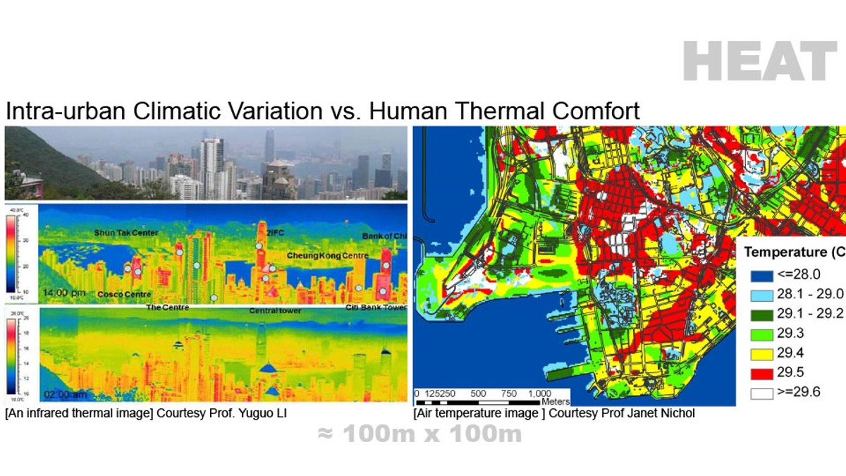
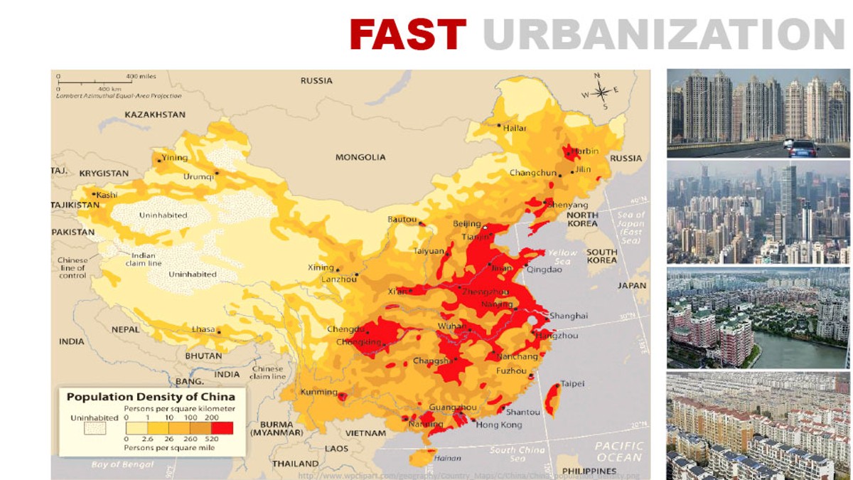
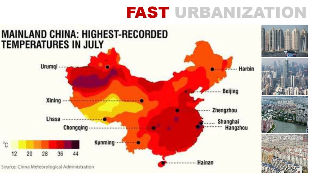
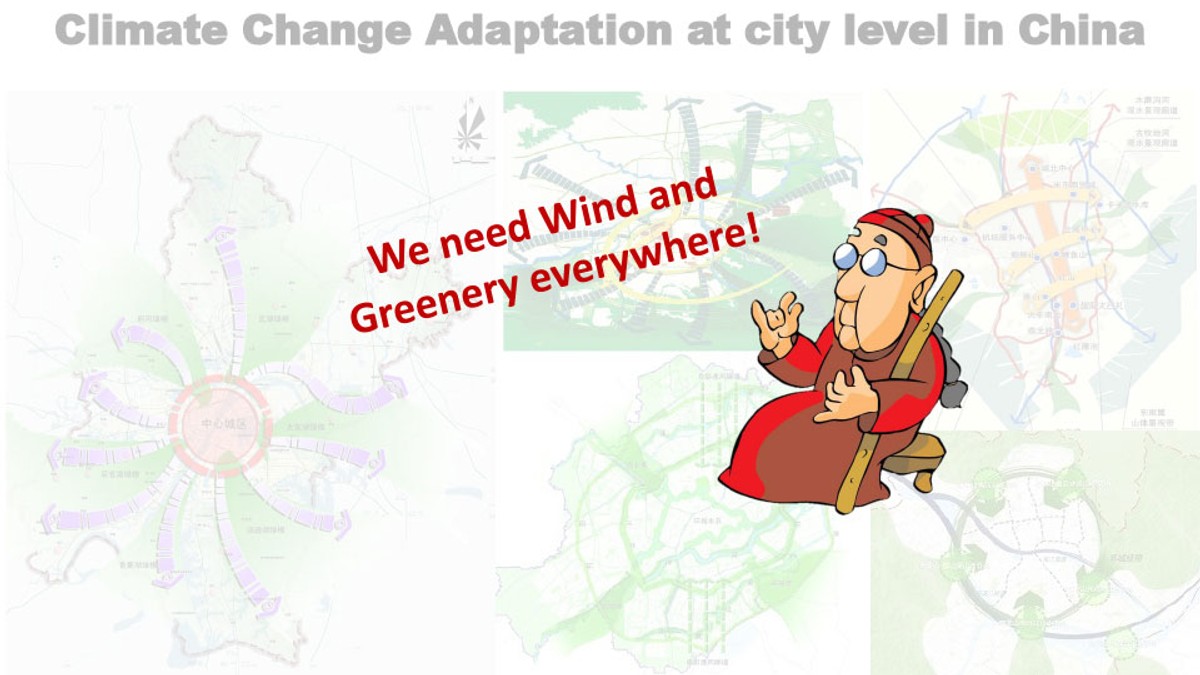
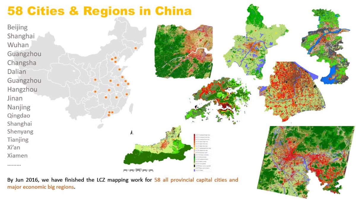
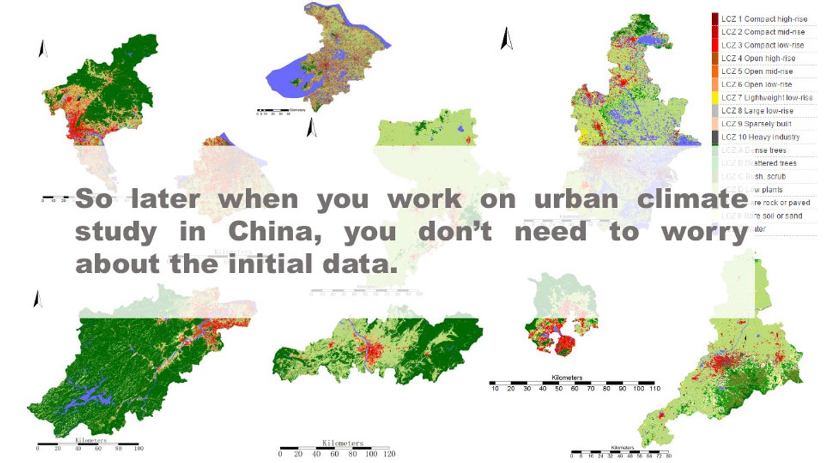
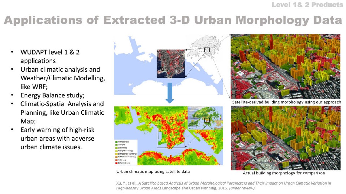
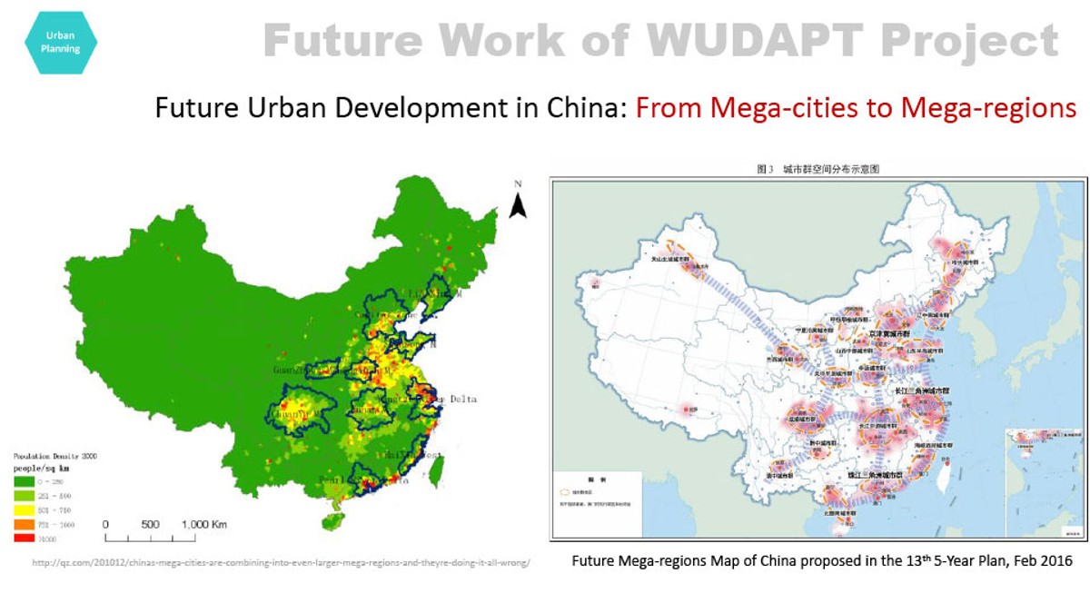
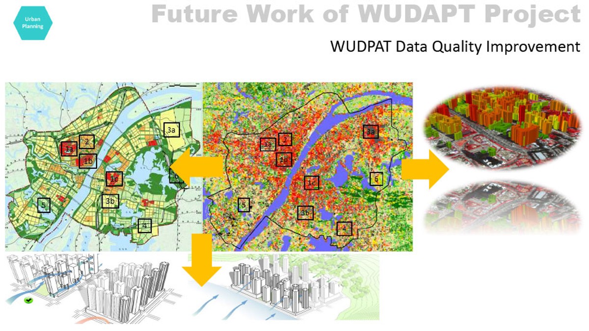
China is the biggest developing country in the world. Recent fast urbanization has changed her natural landscape and brought extra burdens on her environment. Sustainable urban development is urgently needed. Given the lack of land cover information, and urban morphology data availability, quality and harmonization in China, by adopting the WUDAPT product and data, researchers, climatologists, and modellers can conduct quantitative evaluations and research on the impact of urban development on the local environment. Then, based on that, local planners and policy makers can formulate better evidence-based solutions and obtain spatial information for sustainable development. The research team from the Institute of Future Cities of The Chinese University of Hong Kong has developed the local climate zone mapping work and WUDAPT level 0 products for 58 cities and regions in China. They have also developed an innovative advanced technology and method to detect 3-demonsion information about urban morphology for developing WUDAPT level 1 & 2 products. Several on-going international collaborations are exploring various applications of WUDAPT data in different aspects of sustainable urban development in China, for example, Eco-city's performance evaluation and planning for Jing-Jin-Ji region, Haze/dust events in the Yellow River Delta Region, Urban Heat Island and Extreme Heat events in the Pearl River Delta Region.
Links
Authors
Project Partner
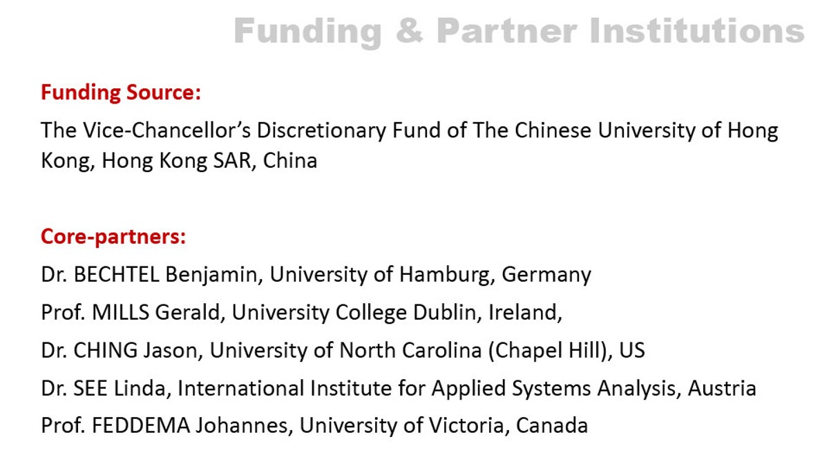
Funding Source:? The Vice-Chancellor?s Discretionary Fund of The Chinese University of Hong Kong, Hong Kong SAR, China Other Partner Institutions: Dr. BECHTEL Benjamin, University of Hamburg, Germany Prof. MILLS Gerald, University College Dublin, Ireland, Dr. CHING Jason, University of North Carolina (Chapel Hill), US Dr. SEE Linda, International Institute for Applied Systems Analysis, Austria Prof. FEDDEMA Johannes, University of Victoria, Canada

