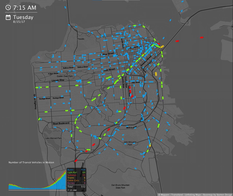
TransitFlow: Visualizing Scheduled Transit Frequency
CitySwifter, 2017
Scheduled transport frequency is an important factor that impacts transport rider experience and mobility. Communicating about transport frequency, however, is difficult. Static transit maps and timetables can be overwhelming and unintuitive. TransitFlow is an open-source application that makes it easy to animate mass transit schedules in towns, cities and regions around the world, relying on GTFS data from Transitland, a community-edited data service aggregating transit networks across metropolitan and rural areas around the world.
Here is some press that TransitFlow has received:
https://www.theguardian.com/cities/2017/oct/04/hypnotic-beauty-public-transport-mapped
https://www.citylab.com/transportation/2017/09/visualize-transit-frequency-nearly-anywhere-in-the-world/538725/
https://www.lemonde.fr/smart-cities/article/2017/10/12/l-etrange-beaute-des-flux-de-paris-dans-une-carte-animee_5200106_4811534.html
And here is the Github repository:
https://github.com/transitland/transitland-processing-animation
TransitFlow was developed by Will Geary, who currently works as a data scientist at CitySwifter.
Links
Authors
Project Partner
Mapzen, Transitland

